
 As readers will have noticed, it has been a while since I made my last post. There are several reasons. I finished most of the topics I originally outlined to cover lighter weight backpacking. I haven’t had any recent suggestions of additional items to include. And I have been out peakbagging, as suggested by my last post, Fast and Light.
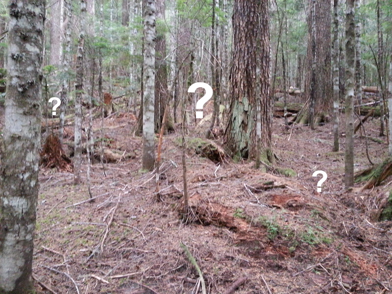
A lot of trips I am doing now have some element of off-trail travel. Sometimes it goes better than others. On these trips I will have a destination, typically a peak, a topo map of the area with the suggested off-trail route superimposed on it, and the same suggested route loaded on my GPS with its topo background map. That’s quite a lot of information. But still I am impressed by the number of route finding decisions I make continuously trying to get from here to there.
I know generally where I want to go, following a compass or GPS heading. I now have to find a way to get there, which may involve several steps of decreasing scale, right down to the level of where my foot goes next. In our big timber, 50 yards is a good range over which to survey the next piece of route. But within that distance there may several obstacles to avoid, such as a fallen 4-6 ft. log, a rock nose or gully. Even closer in, you need to avoid holes, slippery sticks or stands of dense small trees. At the same time taking care not to wander off your general track. This requires a lot of concentration. Chatting with a hiking partner often leads off track quickly.
Some recent trips provide examples of route finding challenges. Continue reading
